UN
2 Clarendon Drive
£ 281,000
Description
We don't have a Description for this property.
- Bedrooms
- 4
- Bathrooms
- 0
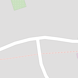
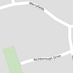
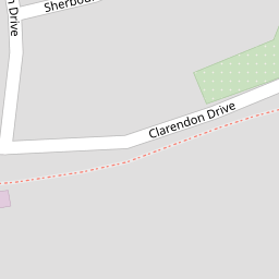


Leaflet © OpenStreetMap contributors
The heatmap indicates the level of crime in the area. The color of the heatmap indicates the crime severity and recency.
Metrics Year-on-Year
- Average area value
- 331,025.00 £Increased by 5.75 %
- Average area rental value
- 1,304.00 £/moDecreased by 9.63 %
- Est rental Yield
- 4.73 %Decreased by 14.47 %
- Crime Rate
- 1.00 %Unchanged by 0.00 %
from 313,022.00 £
from 1,443.00 £/mo
from 5.53 %
from 1.00 %
Nearby Schools
| Name | Type | Ofsted | Distance |
|---|---|---|---|
| Gordons Children'S Academy, Junior | Academy Sponsor Led | Good | 0.53 KM |
| Gordons Children'S Academy, Infant | Academy Sponsor Led | Good | 0.53 KM |
| Temple Mill Primary School | Academy Sponsor Led | Good | 0.69 KM |
| The Children'S Centre At Temple Mill | Children's Centre | 0.69 KM | |
| All Faiths Children'S Academy | Academy Converter | Good | 0.73 KM |
Images
Nearby Streets
| Name | Average Price | Average Sqft | Distance |
|---|---|---|---|
| Edward Street | £ 0 | 0 | 0.00 KM |
| Stonehorse Court | £ 900,000 | 0 | 0.00 KM |
| RS124 | £ 380,000 | 0 | 0.00 KM |
| RRX60 | £ 280,000 | 0 | 0.00 KM |
| Taylor's Lane | £ 0 | 0 | 0.00 KM |
Nearby Transport
| Name | NLC | TLC | Distance |
|---|---|---|---|
| Strood (Kent) | 5191 | SOO | 1.38 KM |
| Rochester | 5203 | RTR | 3.01 KM |
| Higham | 5202 | HGM | 3.67 KM |
| Chatham | 5199 | CTM | 4.31 KM |
| Cuxton | 5201 | CUX | 4.52 KM |
Nearby Listings
| Address | Price | Type | Score | Distance |
|---|---|---|---|---|
| Richborough Drive, Strood, Rochester ME2 3 | £ 565,000 | BUY | Unknown | 0.07 KM |
| Merryfields, Rochester, ME2 | £ 600,000 | BUY | 6 / 10 | 0.11 KM |
| Lychfield Drive, Strood, Rochester ME2 3LY | £ 700,000 | BUY | 7 / 10 | 0.13 KM |
| Chequers Court, Strood | £ 475,000 | BUY | 7 / 10 | 0.15 KM |
| Rosemount Court, Strood | £ 400,000 | BUY | Unknown | 0.16 KM |
Nearby Properties
| Address | Price | Distance |
|---|---|---|
| 3 Clarendon Drive | £ 175,000 | 0.00 KM |
| 5 Clarendon Drive | £ 360,000 | 0.00 KM |
| 18 Clarendon Drive | £ 305,000 | 0.00 KM |
| 12 Clarendon Drive | £ 292,500 | 0.00 KM |
| 2 Clarendon Drive | £ 281,000 | 0.00 KM |